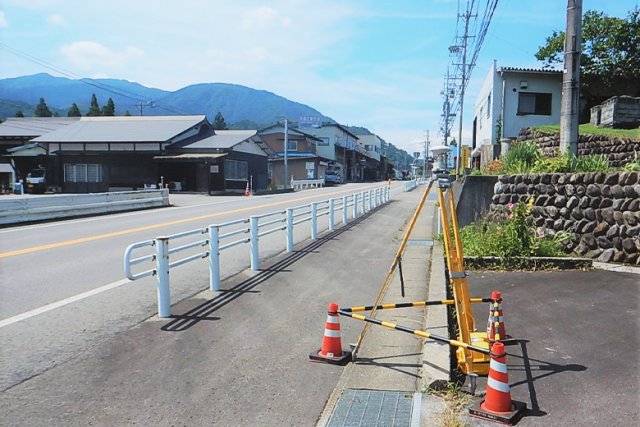
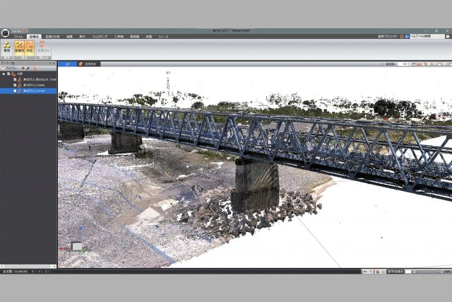
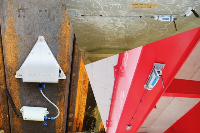
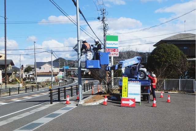
Survey & Investigation

Topographic Survey

Major Services

We seek to provide “high-precision, high-quality survey outputs” that serve as the fundamental data for smooth implementation of public works and urban development projects, prompt disaster recovery, maintenance and management of facilities, etc., with the full use of our highly experienced and skilled surveying techniques we’ve acquired since our establishment in 1952 as well as advanced survey techniques such as 3D survey.

Basic Survey & Public Survey 
基本測量・公共測量

The basic survey is conducted by the Geospatial Information Authority of Japan. This survey requires advanced techniques and high accuracy to establish triangulation stations and bench marks. We provide precise survey outputs with the use of state-of-the-art equipment such as Global Navigation Satellite System (GNSS) surveying instrument.

The public survey is necessary for public works projects implemented by central and local governments. We provide various survey outputs, including applied survey, required for investigation, planning, land acquisition, design, construction and maintenance. 

3D Survey
3次元測量

The 3D survey is a survey technique that obtains high-density point cloud coordinates and creates three-dimensional data of topographic features and structures.

We perform terrestrial laser surveys using ground laser scanners, UAV photogrammetry and UAV laser surveying with drones, and multi-beam bathymetric surveys, and provide 3D data that allows stereoscopic viewing.

Cadastral Survey

The cadastral survey is conducted by municipalities based on the National Land Survey Act and is expected to be used for various purposes such as systematization of land information, facilitation of public works implementation, and early restoration in the event of a major disaster.

We utilize state-of-the-art techniques, such as remote sensing technology, and provide the outputs as required.

List of Major Project Experiences

Client Project Name Project Summary
Ministry of Land, Infrastructure, Transport and Tourism Land and Property Survey for Landslide Prevention and Mitigation Measures in Shimoina Area within Tenryu River System  Land Survey
Local Government Detailed Survey for Rehabilitation of Village Road of Shimoda-Uchigato Line UAV Laser Survey
Nippon Expressway Company (NEXCO) Field Survey of Shinryo Bridge on Tomei Expressway Auxiliary Control Point Survey, Route Survey, Cross Section Survey
Local Government Survey for Urban Redevelopment Project in Southern Area of Tajimi Station Control Point Survey, Leveling Survey, Applied Survey, Topographic Survey, Land Survey
Ministry of Land, Infrastructure, Transport and Tourism Route Survey of Higashi-Surugawan Kanjo Road from Numazu Okonomiya to Ashitaka Route Survey, Leveling Survey
Local Government Cadastral Survey in Meitoku Area, Gifu Preparation of Cadastral Maps and Cadastral Registers

Miscellaneous Surveys

Major Services

In various phases of public works projects such as disaster recovery and maintenance of facilities, a wide variety of measurements and information collection are required. We offer optimized survey methods using a combination of the latest measurement equipment and respond to the needs of our clients.

Monitoring Survey
Survey & Investigation

We make the best use of the latest monitoring and measurement techniques and provide various types of measurement data obtained from the field to meet diverse needs of maintenance and management of civil engineering infrastructure, safety management at construction sites, and restoration support at sites damaged by natural disasters.

Other Various Surveys including Road Surface Conditions Survey and Facilities Inspection
Survey & Investigation

For road facilities in need of continuous safety assurance and appropriate maintenance & management, we inspect road accessories such as signs and lighting, conduct road surface condition surveys, and thereafter provide image databases and GIS management data necessary for maintenance & management.

List of Major Project Experiences

Client Project Name Project Summary
Ministry of Land, Infrastructure, Transport and Tourism Study on Promotion of Use of Geospatial Information in Chubu Region Study on Promotion of Use of Geospatial Information
Ministry of Land, Infrastructure, Transport and Tourism Discharge Measurement In Upper Reach of the Ibi River Periodic River Cross Section Survey, River Discharge Measurement
Local Government Survey and Design of Pavement Repair for Road Infrastructure Assets Deterioration Prevention Projects Falling Weight Deflectometer (FWD) Survey, California Bearing Ratio (CBR) Test, Road Surface Conditions Survey
Local Government Development of Plan for Conservation of Drainage Channel Functions Drainage Channel Function Survey, Simplified Inspection
Local Government Monitoring Survey of Deformation of Kamiyama Tunnel on Kuze – Higashi Tsukumki – Kamiyama Line Monitoring of Tunnel Deformation
Local Government Development of Long- and Mid- Term Pavement Repair Plan Road Surface Conditions Survey, Formulation of Pavement Repair Plan