Geology

Survey & Investigation

Major Services

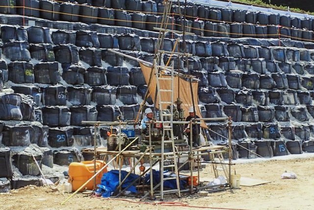
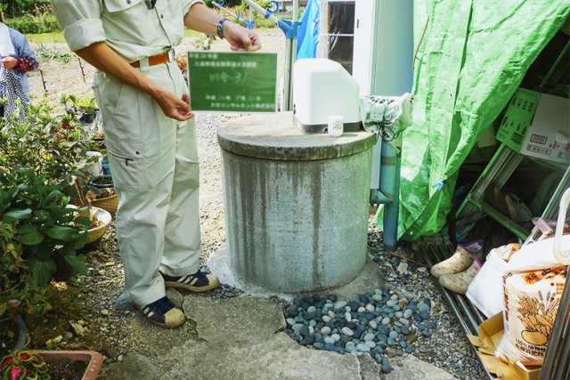
In the construction projects, it is necessary to conduct subsurface exploration at every stage of planning, design, and construction.

We select the most suitable methods according to the site conditions and objectives of surveys and investigations, and perform the subsurface exploration for the purposes of understanding the ground where structures are to be constructed and the effects on groundwater, and studying the necessary measures to prevent disasters.

Borehole Drilling Survey & Soil Test
ボーリング調査・土質試験

We carry out borehole drilling surveys, field tests, and laboratory soil tests to obtain the ground information (ground strength, groundwater, etc.) necessary for the design and construction of roads, tunnels, bridges, rivers, and erosion and sediment control facilities.

We also perform geophysical exploration to investigate the geological conditions and structures by measuring physical properties such as elastic wave velocity and electrical resistivity of the ground.

Hydrological Survey
水文調査

Hydrological survey is carried out to understand the effects of the construction work on the surrounding groundwater environment.

Specifically, we observe well water levels and stream water quantity at each stage before, during, and after construction and conduct water quality analysis in order to determine the effects of construction, examine alternative water sources, and provide data of compensation for business losses.

List of Major Project Experiences

Client Project Name Project Summary
Local Government Road Maintenance and Repair [Disaster Recovery]  
Geological Borehole Drilling Survey
Nippon Expressway Company (NEXCO) Survey and Design of Man-Made Cut Slope from Oimatsuda Interchange to Gotemba Interchange on Tomei Expressway Geotechnical Investigation, Groundwater Level Observation
Ministry of Land, Infrastructure, Transport and Tourism Detailed Design of Kitakinki Toyo-Oka Expressway from Tajima Airport interchange to Hidaka-Kannabe Kogen Interchange Geotechnical Investigation
Ministry of Land, Infrastructure, Transport and Tourism Geotechnical Investigation for Roads within the Jurisdiction of Takayama National Highway Office Geotechnical Investigation, Geophysical Exploration
Ministry of Land, Infrastructure, Transport and Tourism Geotechnical Investigation for Levees within the Jurisdiction of Mie Office of River and National Highway Geotechnical Investigation

Analysis

Major Services

We identify the geotechnical engineering issues based on geological reconnaissance surveys, borehole drilling investigations, and soil tests. Thereafter, we conduct ground stability, deformation, and settlement analysis to ensure safe design and construction.

Geological Reconnaissance Survey
地表地質踏査

To obtain an overview of the topography, geology, and ground conditions of the survey area, our professional engineers who has extensive knowledge and experience observe the topography, outcrops, boulders, etc., create a route map, and compile it into a geological map.

Geotechnical Analysis (Slope Stability/ Liquefaction/ Groundwater/ Soft Ground)
地盤解析 (斜面安定・液状化・地下水・軟弱地盤)

In geotechnical analysis, we carry out appropriate simulation of various issues including settlement of soft ground, study of liquefaction at seismic times, stability of slopes and landslides, and groundwater flow. Based on the simulation, we predict and evaluate the impacts of these issues, and ensure optimum design and construction.

List of Major Project Experiences

Client Project Name Project Summary
Ministry of Land, Infrastructure, Transport and Tourism Survey and Design of Road Structures within the Jurisdiction of Toyooka Office of River and National Highway Construction Information Modeling / Management (CIM), Landslide Analysis
Local Government Study on Measures against Landslide in Yokoo Area Geological Investigation, Stability Analysis
Ministry of Land, Infrastructure, Transport and Tourism Assessment of Impact on Groundwater by Revetment Construction of Abe River and Oi River Hydrological Survey